New issue of the Gearlab has been issued, here can find it and read (icelandic for now). This time the Gearlab tests out an ice screw from Salewa and lists down it’s pros and cons along with a briefly mentioning the history of ice screws.
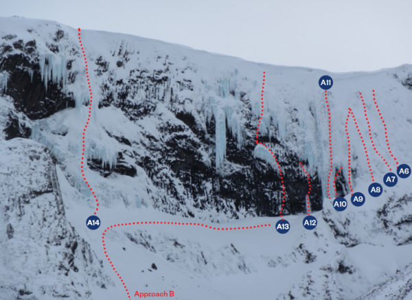
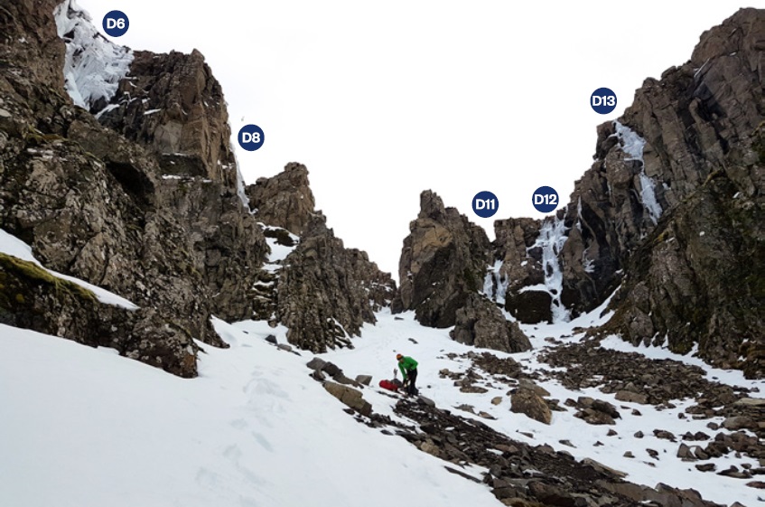
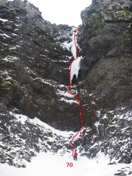
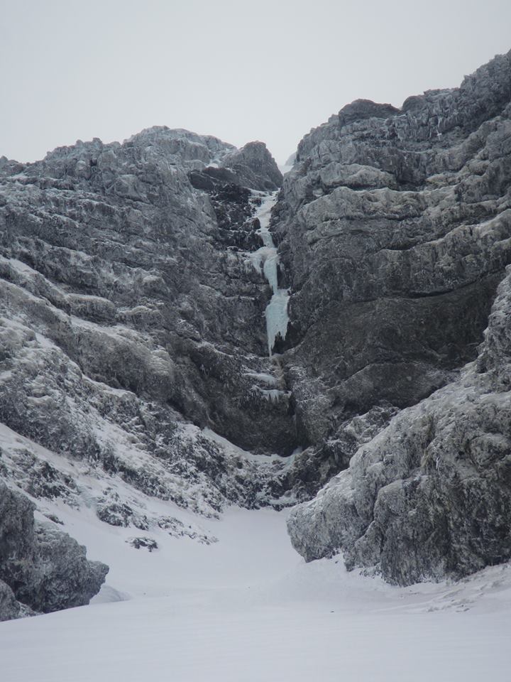
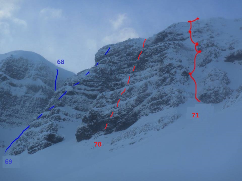
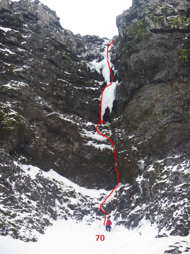
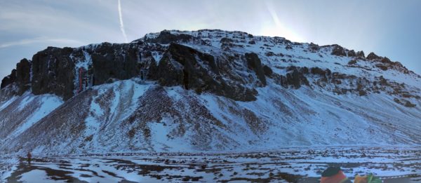
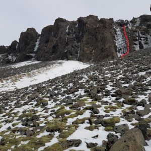
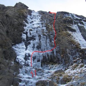
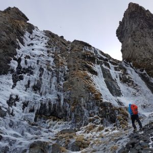
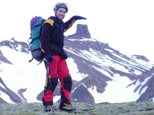
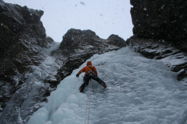
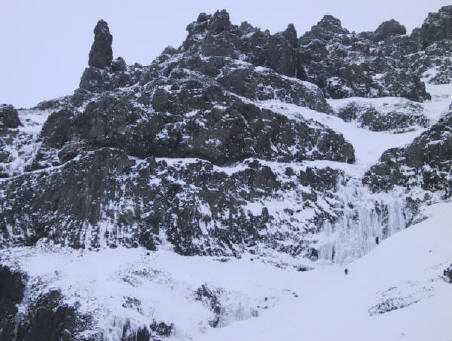
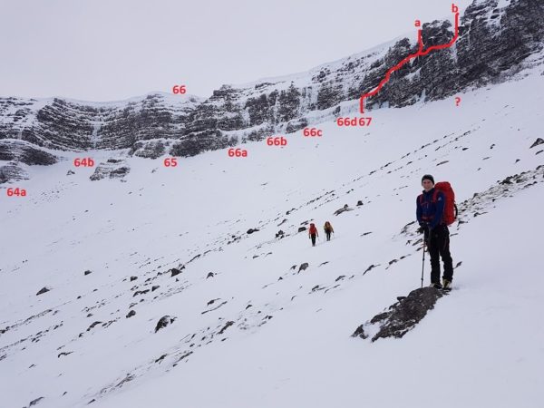
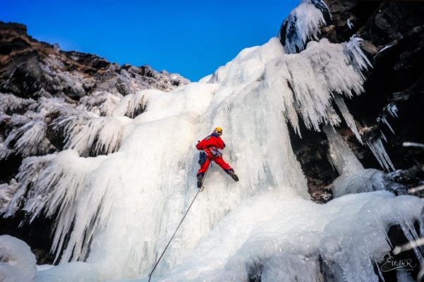
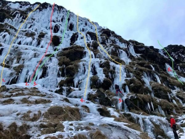
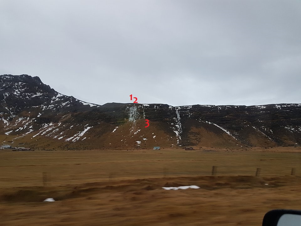
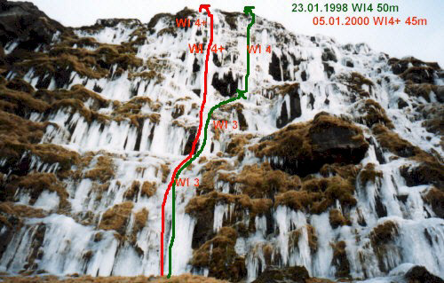
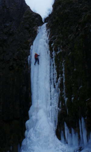
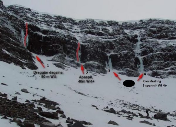
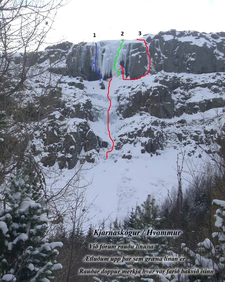
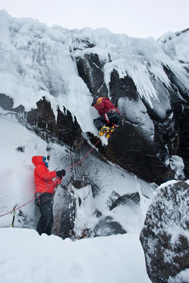
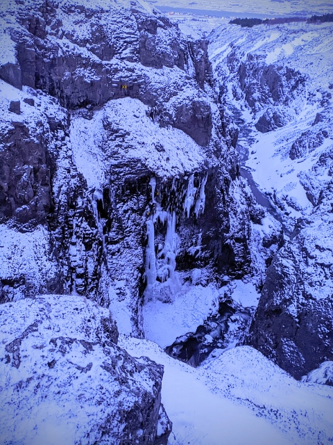
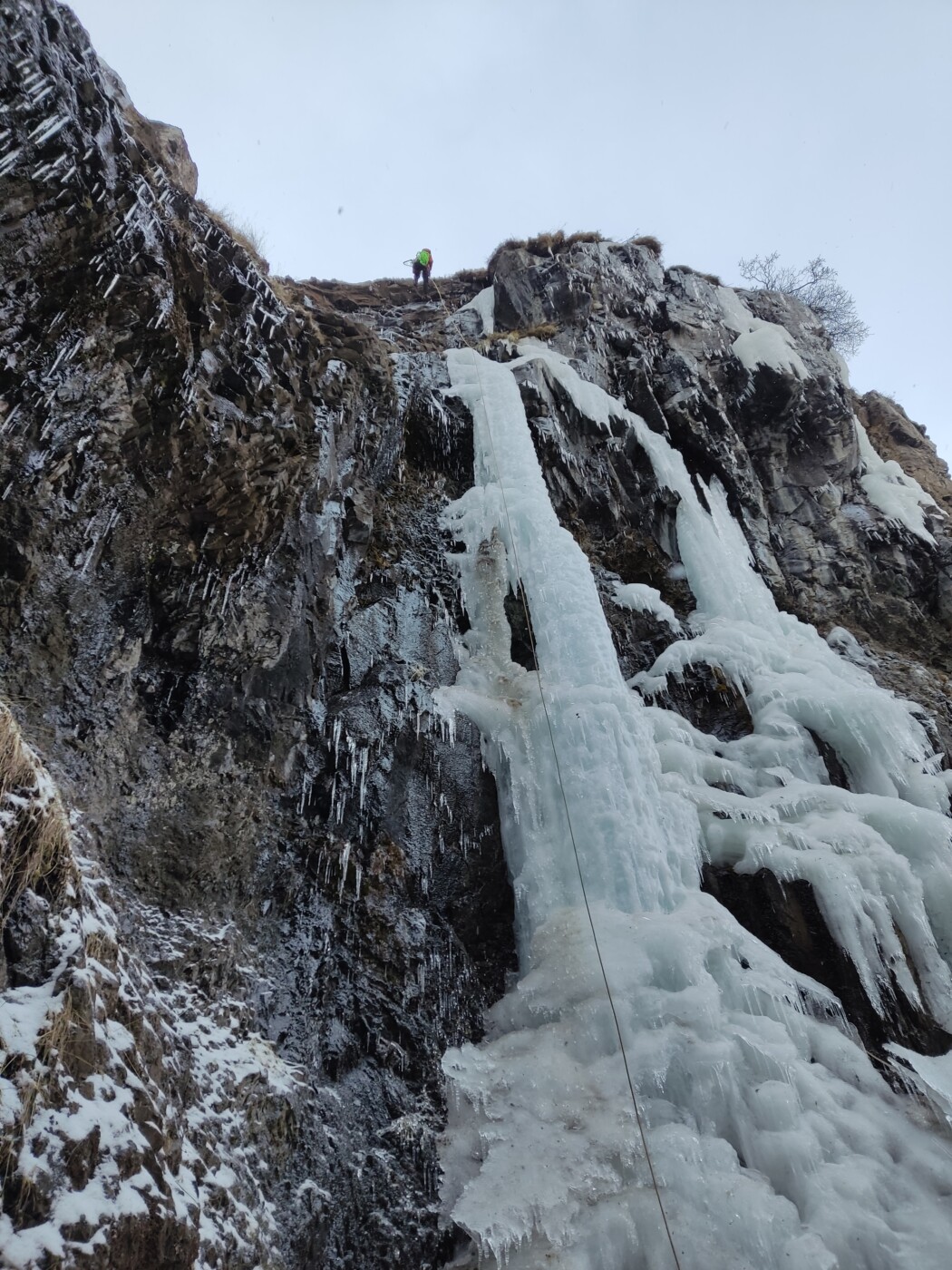
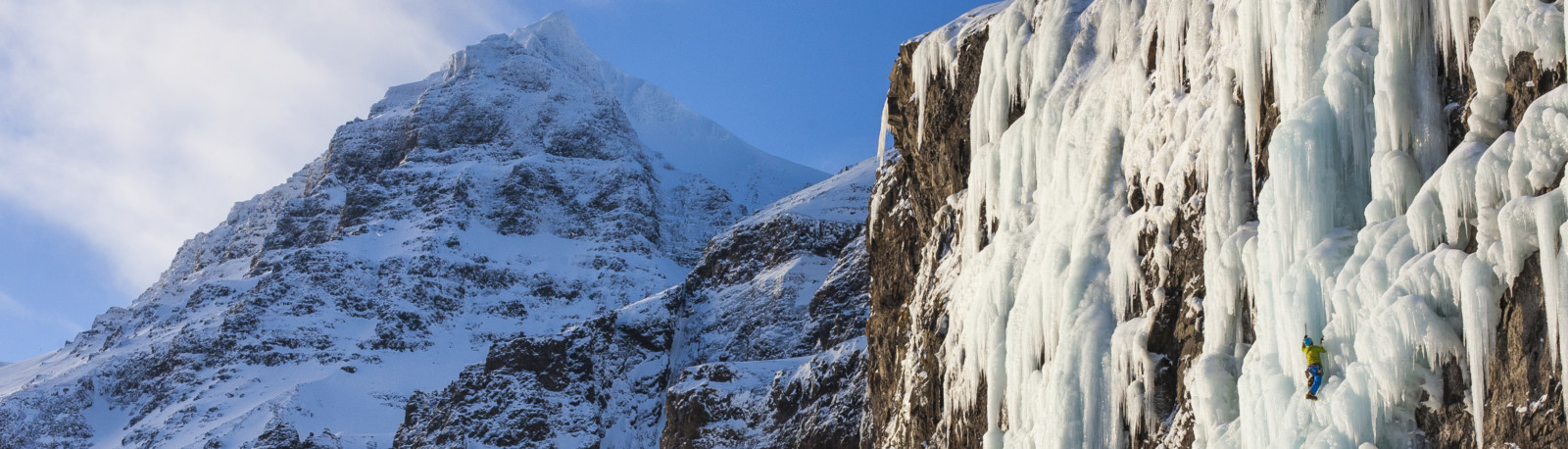
Now the day has gotten longer, the possibility of doing long days out in the mountains has opened up. This is the time hikers and mountaineers go to Hvannadalshnúkur, Hrútfjallstindar and Þverártindsegg. Skiers are already skiing in Tröllaskagi and climbers rush to Skarðsheiði and even Eilífsdalur and Hrútadalur. Recent news tells us that Skessuhorn is in good conditions at the moment.
So, now is the time to head to the mountains, no matter which sport you go for, enjoy!