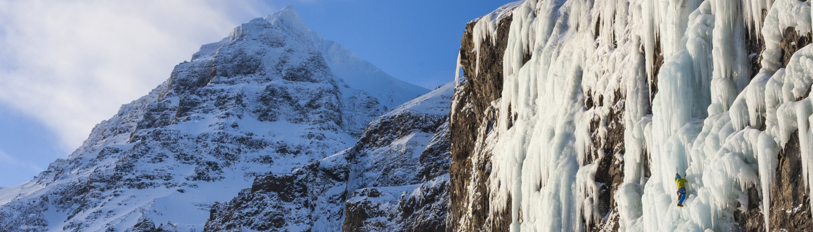
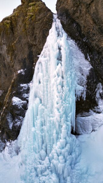
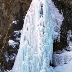
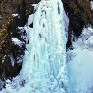
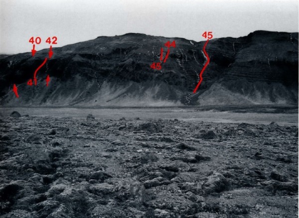
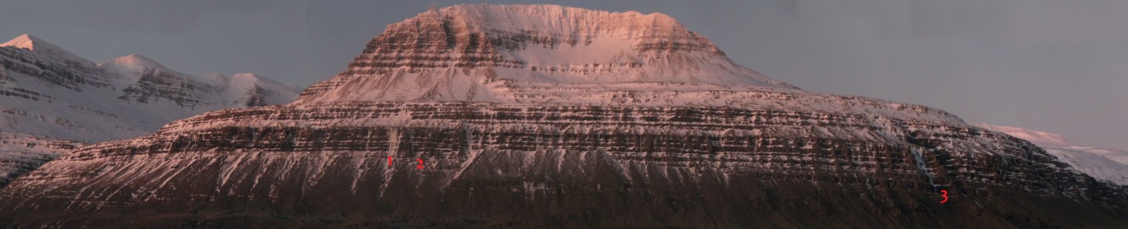
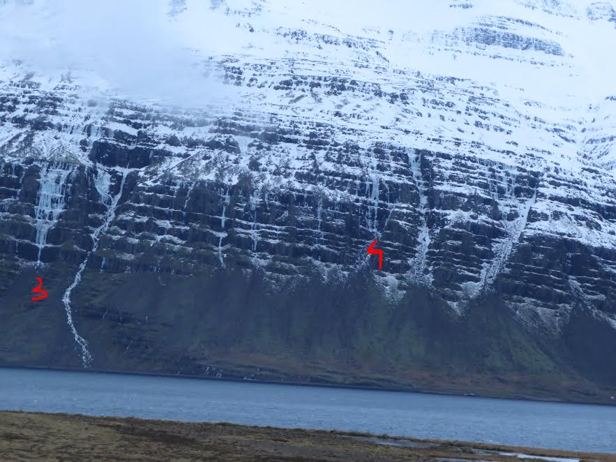
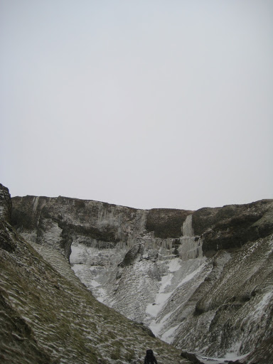
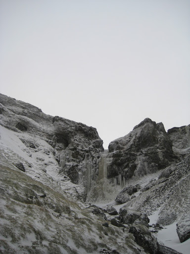
The waterfall is further north in Kjósarskarð than Hrynjandi (#45), in a canyon named Strákagil, which can be seen from the road.
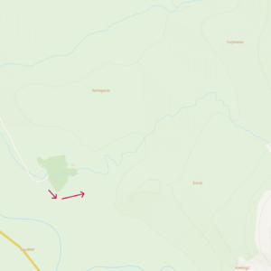
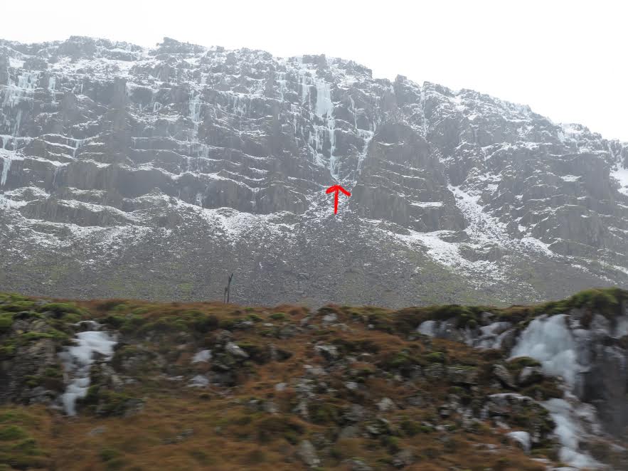
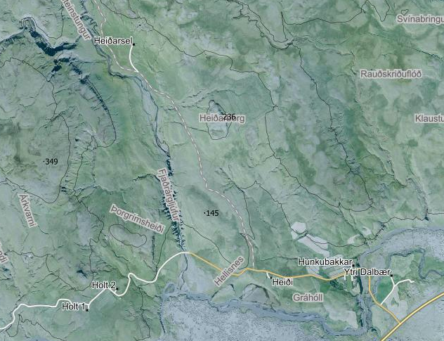
Turn off Kjósarskarðsvegur (48) and drive across a bridge. Take the first gravel road on the right and drive all the way to the summer cabins, if road conditions allow (see map below). The approach from here is only 25 minutes, which makes this waterfall a wonderful afternoon delight.
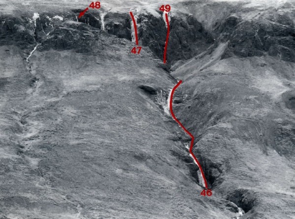
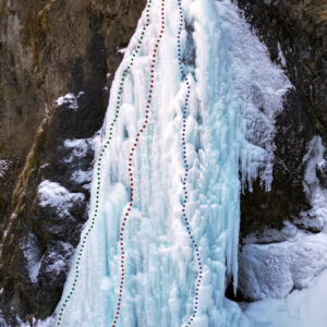
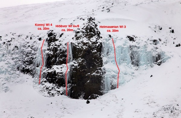
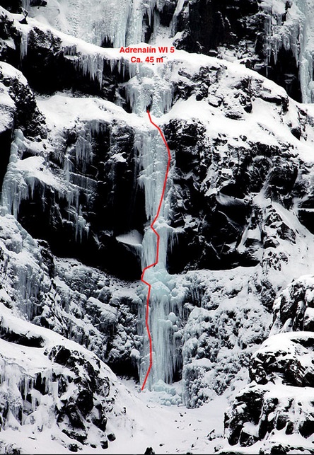
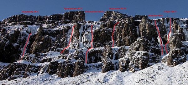
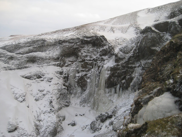
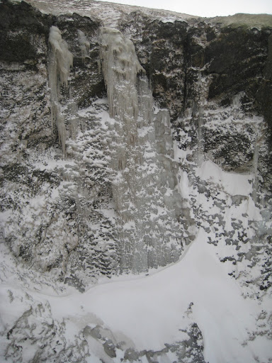
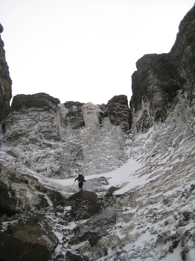
As can be seen on the topo the waterfall can be climbed along a few different routes and the difficulty is in the range WI4 to WI5 based on route selection and conditions each time. The corner (route 1) is easiest and generally in WI4 conditions. The other routes are harder, often WI4+ but can reach WI5 when overhanging sections form. Route 3 is seldom in due to the waterfall often being open somewhere along that route. This is also where the waterfall is the wettest.
The routes are 30-35 meters long. The waterfall will sometimes freeze solid at the top, making it easy to climb out of the gully above it and walk back down on the climber’s left. However, it’s more common to build a V-thread in the top section of the waterfall and rappel down, using two ropes or a single 70m rope.
150 m
FF: Ari T. Guðmundsson. Hreinn Magnússon og
Höskuldur H. Gylfason 26. janúar 1985. Lengsta
ísfossaleiðin i Grenihlið, er í Grindagili. Mislöng
isþrep með snjósköflum á milli í venjulegu árferði.
Meðan að Björgvin og Skarphéðinn klifruðu “eins og vel smurð vél” og fóru samtals fimm leiðir á einum degi, þá klifruðu Sissi og Halli þessa leið og skruppu svo í bæjarferð. Nafnið á leiðinni gefur til kynna kvers kyns bæjarferðin var